Hiking

Medium

Anhalter Hütter - Tschachaun

Hiking tour

Hut hike

+3

9,60 km

06:00 h

829 hm

837 hm

2327 m

Information

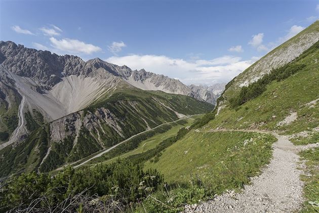
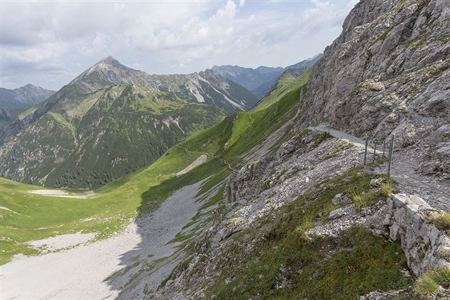
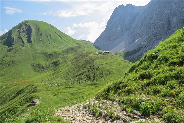
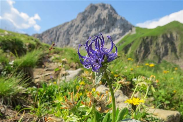
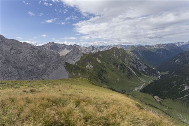
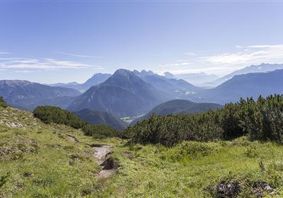
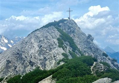
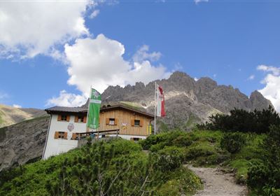
The starting point of this fascinating route is the pass summit of the Hahntenjoch road, from where you set off on the ascent to the Steinjöchl. As you slowly gain altitude, you will be treated to breathtaking views of the surrounding mountains, which will impress you with their majestic splendor. After this impressive stopover, the trail leads you down to the cozy Anhalterhütte, where you can take a well-earned rest and enjoy the Tyrolean hospitality. The trail first leads you along the foot of the imposing Heiterwand, whose striking silhouette will impress you. As you walk along, you will be accompanied by numerous marmots peeking curiously out of their hiding places and enlivening the valley with their whistling. Now the ascent begins through lush alpine meadows. The scent of fresh grass and wild flowers fills the air as you slowly but steadily approach the summit. The majestic mountain peaks around you provide a breathtaking backdrop to your hike and allow you to experience the beauty of nature in its purest form. Finally, you reach the summit of the Tschachaun, where an incomparable panoramic view awaits you. The rugged cliffs and gentle valleys of the Ötztal stretch out below you as you rejoice in your successful ascent. It is a moment of peace and wonder that you will want to hold on to forever.

Recommended Equipment

Mountain equipment

Features & Characteristics

Start Point

Hahntennjoch Passhöhe

End Point

Hahntennjoch Passhöhe

Family hike

Yes

Circular hike

Yes

Arrival

In the summer months there is a hiking bus from Imst to Elmen! More information about the timetable at www.vvt.at.

Map & Elevation Profile

Similar Tour Suggestions

Linserrunde.jpg

Easy

Hiking

Linserrunde

Hiking tour

5,90 km

02:00 h

147 hm

1137 m

Mils_Starkenbach-1.jpg

Medium

Hiking

Section 2: Kronburg - Mils

Long distance trails

6,60 km

02:00 h

71 hm

270 hm

963 m

Eagle Walk Stage: 17

Medium

Hiking

Eagle Walk Stage 17: Ehrwald - Lorea Hütte

Eagle walk

19,00 km

05:30 h

1170 hm

1190 hm

2022 m

2018-Wandern-Bergsteigen-Tarrenz-Sinnesbrunn-Alpleskopf-web-©Rudi Wyhlidal (60).jpg

Hard

Hiking

falscher Kogel

Hiking tour

1,66 km

02:30 h

364 hm

2388 m

WF_Imst_T06_IMG_05_6273_Plott.jpg

Easy

Hiking

Hachleschlucht

Hiking tour

4,40 km

02:30 h

298 hm

1051 m

Oberer Rotanger.jpg

Easy

Hiking

Oberer Rotanger

Hiking tour

2,70 km

01:30 h

220 hm

25 hm

1084 m

Loreahütte.jpg

Medium

Hiking

Loreahütte

Hiking tour

5,80 km

06:00 h

1502 hm

2427 m

Simmeringalm.jpg

Medium

Hiking

Simmeringalm

Hiking tour

19,00 km

05:30 h

1058 hm

1814 m

tirolimster-bergbahnenAlpine Coaster Logoarea47trustyou