Hiking

Easy

Bergwiesen (No. 67)

Hiking tour

6,40 km

02:00 h

300 hm

1185 m

Information

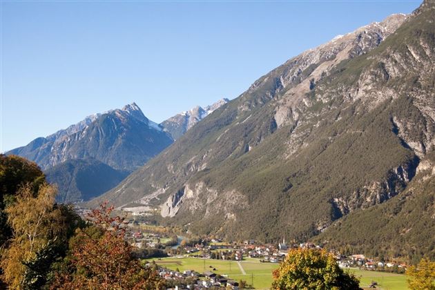
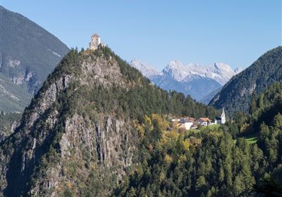
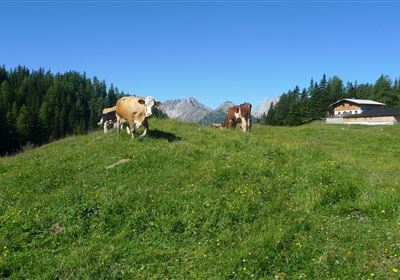
The hike in Imsterberg across mountain meadows offers a relaxed and picturesque experience amidst breathtaking scenery. With an elevation gain of just 300 meters and a distance of 6 kilometers, it is also suitable for less experienced hikers. Along the way, lush mountain meadows invite you to enjoy the beauty of nature and be enchanted by the tranquillity of the surroundings. This easy hike is perfect for all those who want to explore the Imsterberg region without having to face a demanding challenge.

Recommended Equipment

good shoes, enough liquid

Features & Characteristics

Start Point

Municipal office Imsterberg

End Point

Imsterberg village

Map & Elevation Profile

Similar Tour Suggestions

WF_Imst_T21_IMG_01_7981_Durner.jpg

Medium

Hiking

Alpleskopf

Hiking tour

10,90 km

05:30 h

833 hm

2229 m

WF_Imst_T09_IMG_03_9086_Durner.jpg

Easy

Hiking

Göfelesee - Sießekopf

Hiking tour

5,50 km

02:00 h

165 hm

163 hm

1558 m

WF_Imst_T24_IMG_01_8484_Durner.jpg

Medium

Hiking

Muttekopf (No. 621)

Hiking tour

9,20 km

06:00 h

966 hm

956 hm

2766 m

2000px-muszla_jakuba.svg.png

Easy

Hiking

Jakobsweg - connection Stams - Nassereith

Long distance trails

17,90 km

05:30 h

527 hm

343 hm

1149 m

Eagle Walk Stage: 17

Medium

Hiking

Eagle Walk Stage 17: Ehrwald - Lorea Hütte

Eagle walk

19,00 km

05:30 h

1170 hm

1190 hm

2022 m

2018-Wandern-Bergsteigen-Tarrenz-Sinnesbrunn-Alpleskopf-web-©Rudi Wyhlidal (45).jpg

Medium

Hiking

Loreahütte

Hiking

Hiking tour

9,00 km

06:00 h

1087 hm

Fernstein - Fernpaßhöhe.jpg

Easy

Hiking

Fernstein - Fernpaßhöhe

Hiking tour

3,60 km

01:50 h

303 hm

35 hm

1212 m

Wannig.jpg

Hard

Hiking

Wannig

Hiking tour

12,00 km

12:00 h

1715 hm

2493 m

tirolimster-bergbahnenAlpine Coaster Logoarea47trustyou