Hiking

Easy

Göfelesee - Sießekopf

Hiking tour

Circular hike

5,50 km

02:00 h

165 hm

163 hm

1558 m

Information

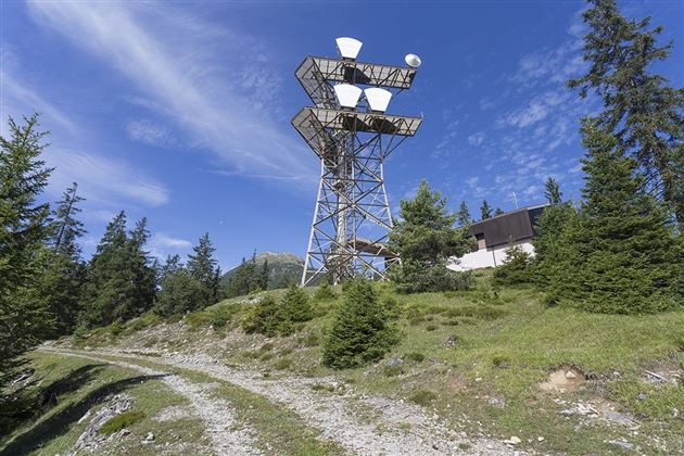
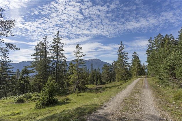
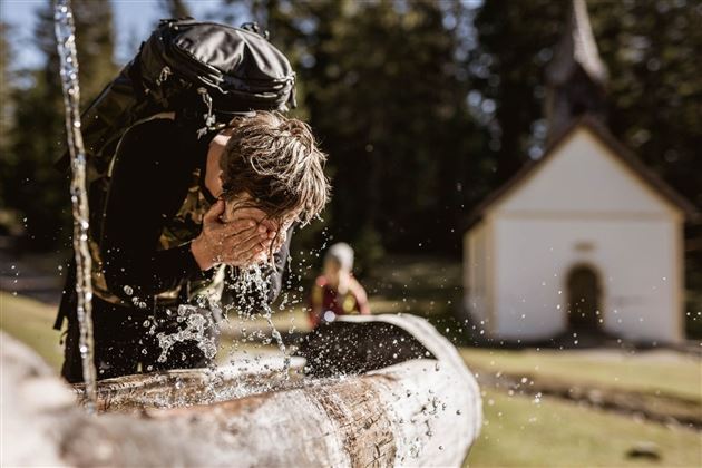
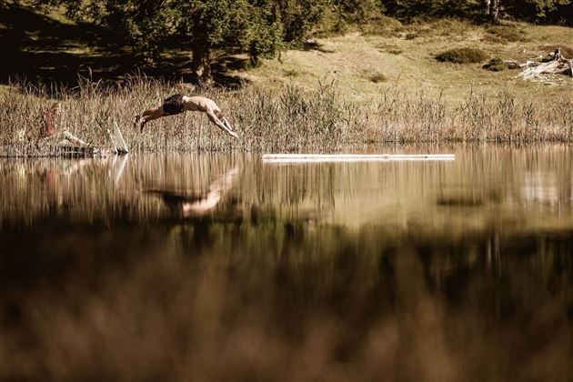
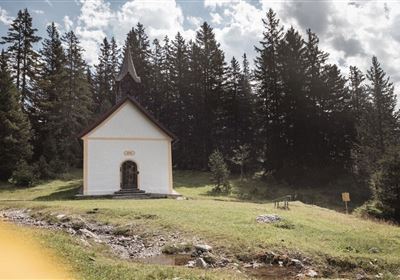
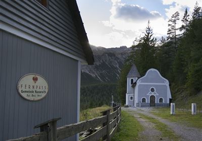
From the parking lot at the Sinnesbrunn pilgrimage church (Obtarrenz), hike along the forest road in the direction of "Obtarrenz/Kappakreuz" to the hairpin bend. Here, continue left on the forest road. At the next fork, you can make a detour to the left to the Göfelesee lake and to the right to another moor area. Then follow the forest road straight ahead. Near the radio mast, leave the forest road and follow the markings straight ahead. The narrow path leads to a hunter's stand, here walk right to another forest road. Turn left on this forest road and later follow the path in the direction of "Sinnesbrunn, Obtarrenz", past the Kohlstatt moor lake, back to the starting point. The loop goes through a beautiful moorland area on a small plateau above Antelsberg.

Refreshment stops: Waldrast

Highlights: Sinnesbrunn pilgrimage church, Sinnesbrunn moorland area, Göfelesee lake, Kohlstatt moorland lake.

Recommended Equipment

good shoes, enough liquid

Features & Characteristics

Start Point

Parkplatz Wallfahrtskirche Sinnesbrunn

End Point

Parkplatz Wallfahrtskirche Sinnesbrunn

Circular hike

Yes

Map & Elevation Profile

Similar Tour Suggestions

Tschirgant Karr+Âster Kreuz_IMG_8349.jpg

Medium

Hiking

Auf den Tschirgant über die Bergwachthütte

Hiking tour

14,00 km

06:30 h

1300 hm

2358 m

2017-Wandern-Tschirgant-Äster Kreuz-©Unbekannt (4).jpg

Medium

Hiking

Tschirgant (Karröster Alm)

Hiking

4,00 km

05:00 h

887 hm

922 hm

2370 m

starkenberger_panoramaweg_etappe_4 (7).jpg

Medium

Hiking

Starkenberger Panoramic Route (total)

Long distance trails

69,80 km

24:00 h

2697 hm

2572 hm

1519 m

sonnenaufgang tour imst tirol (1).JPG

Medium

Hiking

Imsterberger Kreuz

Hiking tour

3,00 km

01:30 h

215 hm

2202 m

Rüsselbach.jpg

Medium

Hiking

Rüsselbach (No. 75)

Hiking tour

4,60 km

02:00 h

390 hm

1164 m

Gunglgrün.jpg

Easy

Hiking

Gunglgrün

Hiking tour

5,30 km

02:00 h

234 hm

1046 m

imst_tourismus_gurgltal_morgenstimmung_west_9446.jpg

Easy

Hiking

Gurgltal

Hiking tour

Loop Hike

10,10 km

02:45 h

72 hm

77 hm

815 m

Mils_Starkenbach-1.jpg

Medium

Hiking

Section 2: Kronburg - Mils

Long distance trails

6,60 km

02:00 h

71 hm

270 hm

963 m

tirolimster-bergbahnenAlpine Coaster Logoarea47trustyou