Hiking

Easy

Gurgltal (No. 21)

Hiking tour

16,80 km

02:30 h

106 hm

850 m

Information

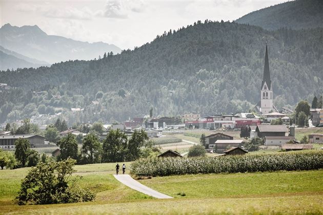
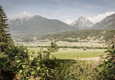
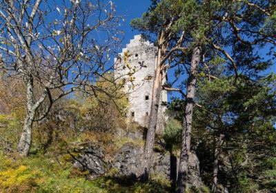
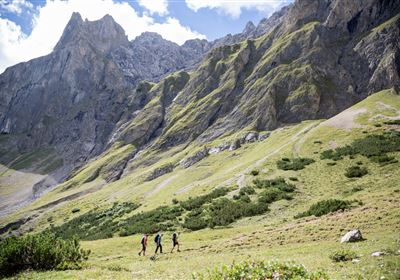
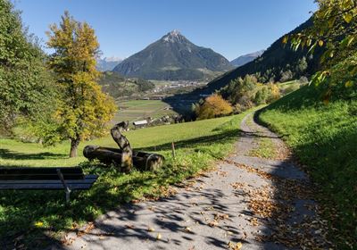
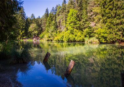
The valley hike through the Gurgltal valley from Tarrenz to Nassereith stretches over 17 kilometers and offers a varied route through forests and meadows, as well as a section along the old Roman road Via Claudia Augusta. A special highlight along the way is the picturesque reservoir in Tarrenz, where, with a bit of luck, beavers can even be spotted. On the way back, the Frauenbrunnen healing spring with its small Kneipp facility invites hikers to relax their tired feet. This hike promises an unforgettable nature experience and the opportunity to enjoy the beauty of the region to the full.

Recommended Equipment

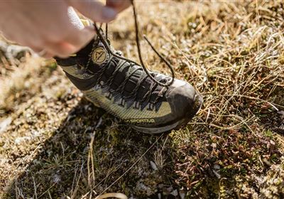
good shoes, enough to drink

Features & Characteristics

Stamina

Start Point

Tarrenz

End Point

Tarrenz

Map & Elevation Profile

Similar Tour Suggestions

Lochmühle.jpg

Medium

Hiking

Lochmühle

Hiking tour

3,70 km

01:30 h

198 hm

300 hm

1033 m

Oberer Rotanger.jpg

Easy

Hiking

Oberer Rotanger

Hiking tour

2,70 km

01:30 h

220 hm

25 hm

1084 m

Kronburgweg.jpg

Easy

Hiking

Kronburgweg

Hiking tour

3,60 km

01:30 h

249 hm

58 hm

945 m

Falterstein - Kronburg.jpg

Easy

Hiking

Falterstein / Kronburg

Hiking tour

10,00 km

03:00 h

115 hm

112 hm

1294 m

Adlerweg Etappe 18

Medium

Hiking

Eagle Walk Stage 18: Lorea Hütte - Anhalter Hütte

Eagle walk

16,00 km

06:30 h

1200 hm

1180 hm

2315 m

Hochimst-1-4.jpg

Medium

Hiking

Section 3a: Imsterberg - Imst

Long distance trails

12,50 km

03:00 h

407 hm

492 hm

1035 m

2015-Schwimmen & Tauchen-Starkenberger See-Tarrenz-©Unbekannt (16).jpg

Easy

Hiking

Starkenberger See

Hiking tour

Loop Hike

5,00 km

02:00 h

106 hm

110 hm

900 m

Anhalter Hütte-©Anhalter Hütte (5)-1.jpg

Medium

Hiking

Anhalter Hütte (Plötzig)

Hiking tour

Hut hike

9,50 km

04:00 h

347 hm

890 hm

2198 m

tirolimster-bergbahnenAlpine Coaster Logoarea47trustyou