Hiking

Easy

Höhenweg

Hiking tour

5,00 km

02:00 h

195 hm

200 hm

861 m

Information

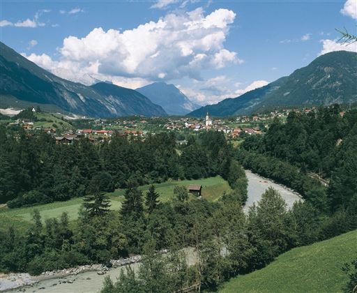
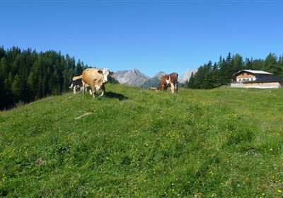
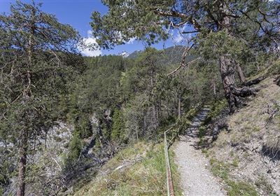
Enjoy a wonderful tour on the high trail in Roppen! The trail starts right in the center and leads you above the village through forests and across lush meadows. What makes this hike special? Not only the peaceful atmosphere, but also the ease of the trail. The high trail is easy to master and is perfect for all hikers, whether beginner or advanced. Be enchanted by the picturesque beauty of the surroundings and enjoy every moment of this relaxing tour.

Features & Characteristics

Start Point

Gemeindeamt Roppen

End Point

Gemeindeamt Roppen

Map & Elevation Profile

Similar Tour Suggestions

20230629_162959.jpg

Easy

Hiking

Jägersteig

Hiking tour

3,00 km

01:15 h

137 hm

starkenberger_panoramaweg_etappe_4 (7).jpg

Medium

Hiking

Starkenberger Panoramic Route (total)

Long distance trails

69,80 km

24:00 h

2697 hm

2572 hm

1519 m

Schweintal.jpg

Easy

Hiking

Schweintal

Hiking tour

3,00 km

02:00 h

231 hm

156 hm

1022 m

imst_tourismus_gurgltal_morgenstimmung_west_9446.jpg

Easy

Hiking

Gurgltal

Hiking tour

10,10 km

02:45 h

72 hm

77 hm

815 m

Wannig.jpg

Hard

Hiking

Wannig

Hiking tour

12,00 km

12:00 h

1715 hm

2493 m

panoramaweg_etappe_05_19.jpg

Medium

Hiking

Gafleintal - Kohlstattsee

Hiking

Hiking tour

12,00 km

05:00 h

715 hm

720 hm

DSC_0647.JPG

Medium

Hiking

Milsbergsteig

Hiking tour

6,10 km

334 hm

523 hm

1183 m

2010-Wandern-Hütten und Almen-Muthenau Alm-©Unbekannt (6).JPG

Medium

Hiking

Biberwier

Hiking tour

5,00 km

02:00 h

300 hm

251 hm

1789 m

tirolimster-bergbahnenAlpine Coaster Logoarea47trustyou