Hiking

Easy

Karrösten - Karres

Hiking tour

1,20 km

00:30 h

98 hm

921 m

Information

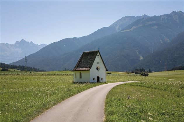
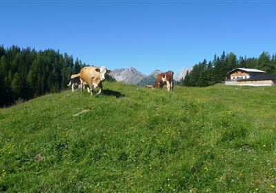
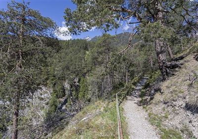
Embark on an easy and wonderful tour from Karrösten to Karres and enjoy the beauty of nature along the way. The starting point is the municipal office in Karrösten, from where you follow the path towards the church. The path leads you across picturesque fields and lush meadows to the municipal office in Karres.

Enjoy the tranquillity and vastness of the landscape as you continue your leisurely walk through the idyllic surroundings. This relaxed hike is all downhill, so you can enjoy nature to the full.

Recommended Equipment

good shoes, enough to drink

Features & Characteristics

Start Point

Karrösten municipal office

End Point

Karres municipal office

Map & Elevation Profile

Similar Tour Suggestions

2000px-muszla_jakuba.svg.png

Medium

Hiking

Jakobsweg - connection Nassereith - Lermoos

Long distance trails

18,50 km

05:30 h

523 hm

364 hm

1239 m

Kronburg-1-2.jpg

Easy

Hiking

Kronburger Tobl (Nr. 87)

Hiking tour

2,50 km

01:00 h

122 hm

152 hm

1057 m

Falterstein - Kronburg.jpg

Easy

Hiking

Falterstein / Kronburg

Hiking tour

10,00 km

03:00 h

115 hm

112 hm

1294 m

2018-Wandern-Bergsteigen-Tarrenz-Sinnesbrunn-Alpleskopf-web-©Rudi Wyhlidal (135).jpg

Medium

Hiking

Marienbergalm

Hiking tour

10,00 km

04:00 h

497 hm

491 hm

1622 m

2010-Wandern-Hütten und Almen-Muthenau Alm-©Unbekannt (6).JPG

Medium

Hiking

Biberwier

Hiking tour

5,00 km

02:00 h

300 hm

251 hm

1789 m

WF_Imst_T05_IMG_01_5939_Durner.jpg

Easy

Hiking

Salvesenschlucht (No. 16)

Hiking tour

Loop Hike

4,30 km

01:45 h

195 hm

988 m

Fernpass-1.jpg

Easy

Hiking

Section 7: Fernpass - Ehrwald

Long distance trails

13,80 km

02:30 h

499 hm

260 hm

1261 m

Anhalter Hütte-©Anhalter Hütte (5)-1.jpg

Medium

Hiking

Anhalter Hütte (Plötzig)

Hiking tour

Hut hike

9,50 km

04:00 h

347 hm

890 hm

2198 m

tirolimster-bergbahnenAlpine Coaster Logoarea47trustyou