Hiking

Medium

Maisalm / Mutkopf

Hiking tour

Hut hike

+1

8,80 km

06:00 h

1466 hm

47 hm

2241 m

Information

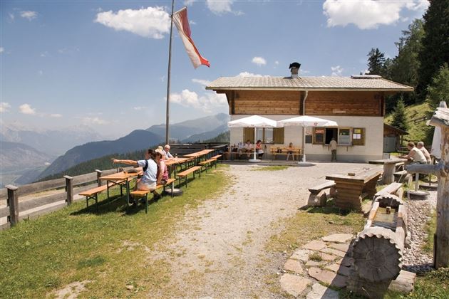
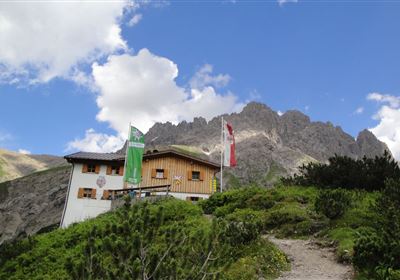
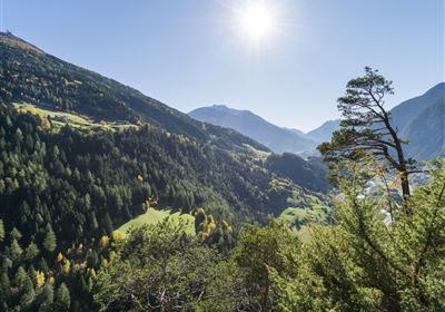
Discover the impressive hike from Roppen to the Mutkopf, a route that requires an excellent level of fitness. The trail starts in the Oberängern district of Roppen and takes you through varied landscapes. You will be challenged right from the start of the hike, as the trail leads you uphill through the forest. But your efforts are rewarded when you reach the Maisalpe and enjoy a magnificent view of the valley and the surrounding mountains. The trail continues uphill across lush meadows, past the unmanaged Muthütte hut, until you finally reach the Mutzeiger at an altitude of 2277 meters. Up here, you are rewarded for all your efforts with a breathtaking panorama.

Course: Maisalm (2.5 hours) - Mutzeiger

Tip/worth seeing: Forchheimer Höhenweg

From Roppen a forest path (approx. 2.5h) leads up to the Maisalm. From here you continue to the Mutzeiger.

Recommended Equipment

good shoes, enough to drink

Features & Characteristics

Stamina

Skill

Start Point

Roppen

End Point

Mutkopf

Map & Elevation Profile

Similar Tour Suggestions

2000px-muszla_jakuba.svg.png

Medium

Hiking

Jakobsweg - connection Nassereith - Lermoos

Long distance trails

18,50 km

05:30 h

523 hm

364 hm

1239 m

Kronburg-1-2.jpg

Easy

Hiking

Kronburger Tobl (Nr. 87)

Hiking tour

2,50 km

01:00 h

122 hm

152 hm

1057 m

Falterstein - Kronburg.jpg

Easy

Hiking

Falterstein / Kronburg

Hiking tour

10,00 km

03:00 h

115 hm

112 hm

1294 m

2018-Wandern-Bergsteigen-Tarrenz-Sinnesbrunn-Alpleskopf-web-©Rudi Wyhlidal (135).jpg

Medium

Hiking

Marienbergalm

Hiking tour

10,00 km

04:00 h

497 hm

491 hm

1622 m

2010-Wandern-Hütten und Almen-Muthenau Alm-©Unbekannt (6).JPG

Medium

Hiking

Biberwier

Hiking tour

5,00 km

02:00 h

300 hm

251 hm

1789 m

WF_Imst_T05_IMG_01_5939_Durner.jpg

Easy

Hiking

Salvesenschlucht (No. 16)

Hiking tour

Loop Hike

4,30 km

01:45 h

195 hm

988 m

Fernpass-1.jpg

Easy

Hiking

Section 7: Fernpass - Ehrwald

Long distance trails

13,80 km

02:30 h

499 hm

260 hm

1261 m

Anhalter Hütte-©Anhalter Hütte (5)-1.jpg

Medium

Hiking

Anhalter Hütte (Plötzig)

Hiking tour

Hut hike

9,50 km

04:00 h

347 hm

890 hm

2198 m

tirolimster-bergbahnenAlpine Coaster Logoarea47trustyou