Hiking

Medium

Muthenaualm

Hiking tour

Hut hike

+1

6,80 km

04:20 h

988 hm

85 hm

1783 m

Information

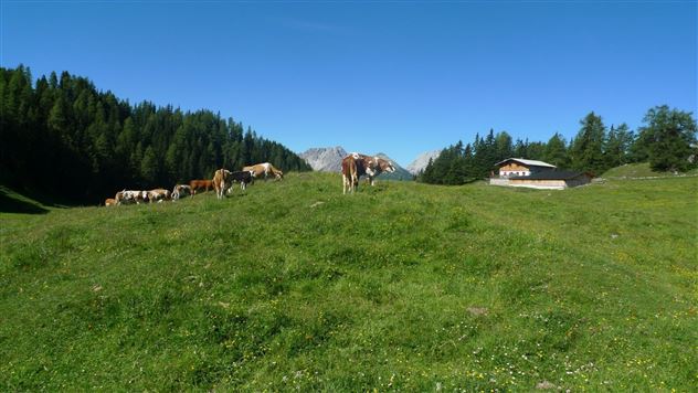
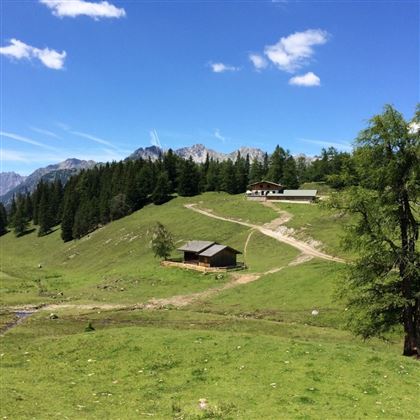
Start at the climbing parking lot in Nassereith, from here you walk along a meadow path to the "Reitgassele". Walk along the Adlerhorstweg until you finally reach the viewing platform "Adlerhorst". Continue on the forest road to the Muthenaualm. 

Recommended Equipment

good shoes, enough to drink

Features & Characteristics

Stamina

Skill

Start Point

Kletterparkplatz Nassereith

End Point

Muthenaualm

Map & Elevation Profile

Similar Tour Suggestions

heiterwandhuette.jpeg

Medium

Hiking

Heiterwandhütte

Hiking tour

8,00 km

05:00 h

1133 hm

127 hm

2003 m

imst_tourismus_rosengartenschlucht_wyhlidal_west_0009.jpg

Easy

Hiking

Rosengartenschlucht

Hiking tour

Loop Hike

4,40 km

02:30 h

282 hm

279 hm

1049 m

WF_Imst_T15_IMG_01_3285_Plott.jpg

Medium

Hiking

Tarrenz: Obtarrenz - Dollinger - Kropfsee

Hiking tour

11,60 km

04:00 h

301 hm

363 hm

1070 m

Screenshot 2024-04-26 100406.jpg

Medium

Hiking

Sinnesbrunn (Tarrenton)

Hiking tour

10,50 km

03:30 h

377 hm

1800 m

Galtbergalm (2).jpg

Easy

Hiking

Galtbergalm

Hiking tour

9,00 km

03:30 h

661 hm

1792 m

WF_Imst_T01_IMG_05_6076_Durner.jpg

Easy

Hiking

The Bewitched Children's Trail

Hiking tour

Thematic route

+1

2,70 km

01:00 h

83 hm

84 hm

909 m

Imst_Wetterkreuz-1-2.jpg

Easy

Hiking

Section 4: Imst - Tarrenz

Long distance trails

7,10 km

02:30 h

298 hm

252 hm

1063 m

Kronburgweg.jpg

Easy

Hiking

Kronburgweg

Hiking tour

3,60 km

01:30 h

249 hm

58 hm

945 m

tirolimster-bergbahnenAlpine Coaster Logoarea47trustyou