Hiking

Medium

Muttekopf (No. 621)

Hiking tour

Circular hike

9,20 km

06:00 h

966 hm

956 hm

2766 m

Information

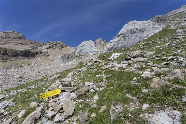
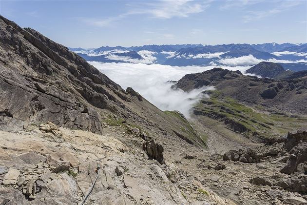
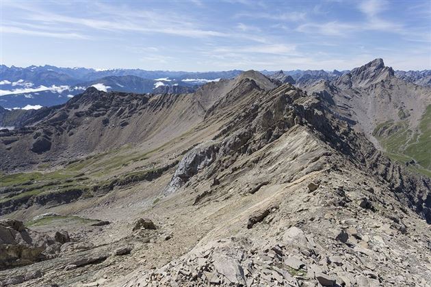
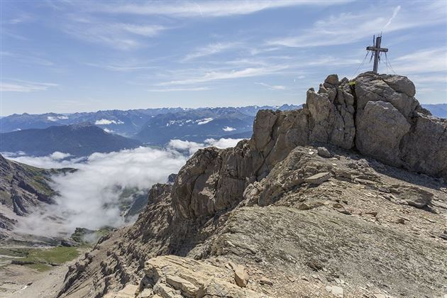
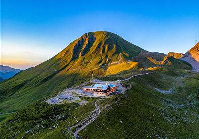
From Hoch-Imst you take the Imst cable cars (2 sections) to the Alpjoch mountain station. Here you will find the panoramic terrace SunOrama with sensational views. From the mountain station follow the path to the Adlerhorst viewing platform. After the turnstile begins the Drischlsteig (mostly rope-secured with steps) to the Muttekopfhütte. Shortly before the Muttekopfhütte there is a waterfall on the left side. From the Muttekopfhütte hike on the hiking trail (No. 622) in the direction of "Muttekopf" to the Muttescharte. From here, walk up the southwest ridge to the Muttekopf. The descent is on the same path via the Muttescharte downhill to the Muttekopfhütte.

Refreshment stops: Muttekopfhütte
Highlights: SunOrama panorama terrace, Adlerhorst viewing platform, waterfall, Muttekopf rest area,

Recommended Equipment

Mountain equipment

Features & Characteristics

Stamina

Skill

Start Point

Hoch-Imst

End Point

Muttekopf

Circular hike

Yes

Map & Elevation Profile

Similar Tour Suggestions

2000px-muszla_jakuba.svg.png

Medium

Hiking

Jakobsweg - connection Nassereith - Lermoos

Long distance trails

18,50 km

05:30 h

523 hm

364 hm

1239 m

Kronburg-1-2.jpg

Easy

Hiking

Kronburger Tobl (Nr. 87)

Hiking tour

2,50 km

01:00 h

122 hm

152 hm

1057 m

Falterstein - Kronburg.jpg

Easy

Hiking

Falterstein / Kronburg

Hiking tour

10,00 km

03:00 h

115 hm

112 hm

1294 m

2018-Wandern-Bergsteigen-Tarrenz-Sinnesbrunn-Alpleskopf-web-©Rudi Wyhlidal (135).jpg

Medium

Hiking

Marienbergalm

Hiking tour

10,00 km

04:00 h

497 hm

491 hm

1622 m

2010-Wandern-Hütten und Almen-Muthenau Alm-©Unbekannt (6).JPG

Medium

Hiking

Biberwier

Hiking tour

5,00 km

02:00 h

300 hm

251 hm

1789 m

WF_Imst_T05_IMG_01_5939_Durner.jpg

Easy

Hiking

Salvesenschlucht (No. 16)

Hiking tour

Loop Hike

4,30 km

01:45 h

195 hm

988 m

Fernpass-1.jpg

Easy

Hiking

Section 7: Fernpass - Ehrwald

Long distance trails

13,80 km

02:30 h

499 hm

260 hm

1261 m

Anhalter Hütte-©Anhalter Hütte (5)-1.jpg

Medium

Hiking

Anhalter Hütte (Plötzig)

Hiking tour

Hut hike

9,50 km

04:00 h

347 hm

890 hm

2198 m

tirolimster-bergbahnenAlpine Coaster Logoarea47trustyou