Hiking

Easy

Oberfeld irrigation canal Roppen

Hiking tour

1,90 km

01:15 h

43 hm

760 m

Best Time of Year

Jan

Feb

Mar

Apr

May

Jun

Jul

Aug

Sep

Oct

Nov

Dec

Information

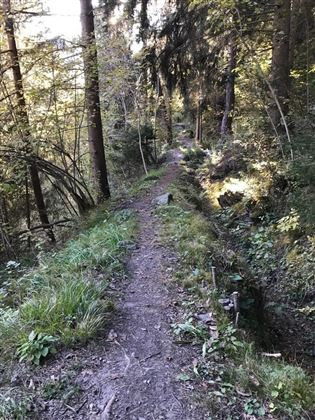
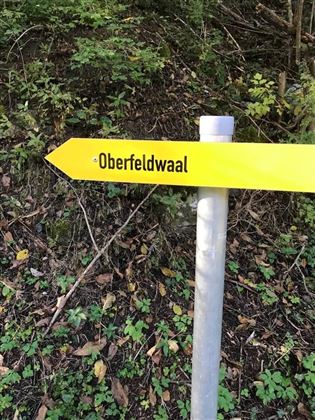
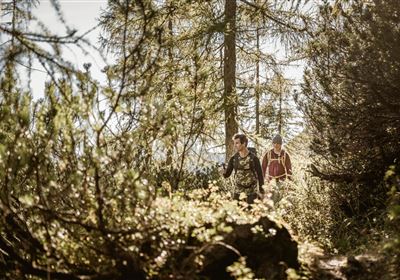
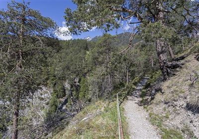
Experience the beauty of nature on the easy hike along the Oberfeldwaal in Roppen. The starting point is the sports field in Roppen, from where the circular trail leads along old irrigation systems that once watered the fields. Although these historic irrigation channels have been decommissioned, there are plans to restore them and run them with water. The picturesque landscape makes this hike an unforgettable experience for nature lovers of all kinds.


Recommended Equipment

good shoes, enough to drink

Features & Characteristics

Stamina

Skill

Start Point

Sportplatz Roppen

End Point

Sportplatz Roppen

Map & Elevation Profile

Similar Tour Suggestions

2000px-Muszla_Jakuba.svg.png

Medium

Hiking

Jakobsweg - connection Nassereith - Lermoos

Long distance trails

18,50 km

05:30 h

523 hm

364 hm

1239 m

WF_Imst_T03_IMG_04_2753_Plott.jpg

Easy

Hiking

Geology nature trail Forchet

Thematic route

Hiking tour

3,90 km

02:00 h

77 hm

105 hm

735 m

20240608_132458.jpg

Medium

Hiking

Tschirgant (No. 24)

Hiking

Hiking tour

08:30 h

1162 hm

1592 hm

2332 m

Screenshot 2024-04-26 104202.jpg

Medium

Hiking

Kohlstattsee

Hiking tour

6,50 km

314 hm

362 hm

1500 m

imst_tourismus_rosengartenschlucht_wyhlidal_west_0009.jpg

Easy

Hiking

Rosengartenschlucht

Hiking tour

4,40 km

02:30 h

282 hm

279 hm

1049 m

2018-Wandern-Bergsteigen-Tarrenz-Sinnesbrunn-Alpleskopf-web-©Rudi Wyhlidal (97).jpg

Medium

Hiking

Galflun Alm

Hiking tour

3,80 km

01:13 h

95 hm

1900 m

DSC_0647.JPG

Medium

Hiking

Milsbergsteig

Hiking tour

6,10 km

334 hm

523 hm

1183 m

Namloser Wetterspitze_©Axel Beland.JPG

Medium

Hiking

Anhalter Höhenweg

Hiking tour

16,00 km

09:30 h

1483 hm

tirolimster-bergbahnenAlpine Coaster Logoarea47trustyou