Hiking

Easy

Rosengartenschlucht

Hiking tour

4,40 km

02:30 h

282 hm

279 hm

1049 m

Best Time of Year

Open

Jan

Feb

Mar

Apr

May

Jun

Jul

Aug

Sep

Oct

Nov

Dec

Information

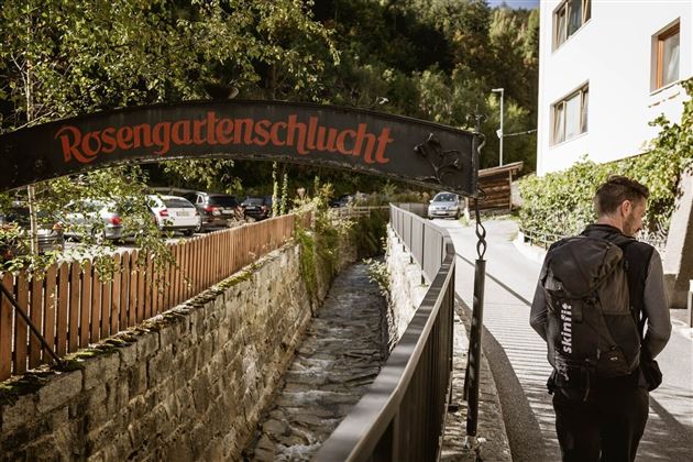
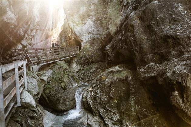
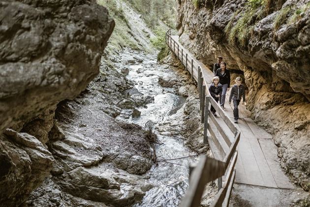
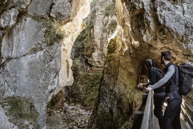
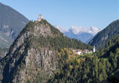
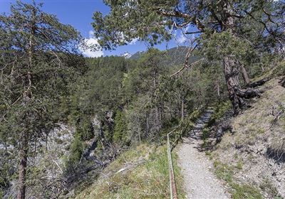
The hike from Imst through the Rosengarten Gorge is a beautiful and varied tour. From the information office in Imst, to the left of St. John's Church, you walk along the Schinderbach stream into the Rosengarten Gorge. There you walk on a secured path through the gorge. There are always impressive views of the Schinderbach. At the bridge, continue in the direction of "Hoch-Imst". Shortly before Hoch-Imst you can make a worthwhile detour to the Blue Grotto. Then follow the path further uphill, past the natural lake, to Hoch-Imst. After the parking lot, continue in the direction of the "Wetterkreuz" and always follow the path in this direction, downhill. From the so-called "Wetterkreuz" you have a beautiful view into the Gurgltal valley. Then follow the hiking trail back to Imst. The Rosengarten Gorge can be visited free of charge at any time from about mid-May until the onset of winter.

Recommended Equipment

good shoes, enough to drink

Features & Characteristics

Stamina

Skill

Start Point

City centre Imst

End Point

Hoch-Imst

Map & Elevation Profile

Similar Tour Suggestions

20230629_162959.jpg

Easy

Hiking

Jägersteig

Hiking tour

3,00 km

01:15 h

137 hm

starkenberger_panoramaweg_etappe_4 (7).jpg

Medium

Hiking

Starkenberger Panoramic Route (total)

Long distance trails

69,80 km

24:00 h

2697 hm

2572 hm

1519 m

Schweintal.jpg

Easy

Hiking

Schweintal

Hiking tour

3,00 km

02:00 h

231 hm

156 hm

1022 m

imst_tourismus_gurgltal_morgenstimmung_west_9446.jpg

Easy

Hiking

Gurgltal

Hiking tour

10,10 km

02:45 h

72 hm

77 hm

815 m

Wannig.jpg

Hard

Hiking

Wannig

Hiking tour

12,00 km

12:00 h

1715 hm

2493 m

panoramaweg_etappe_05_19.jpg

Medium

Hiking

Gafleintal - Kohlstattsee

Hiking

Hiking tour

12,00 km

05:00 h

715 hm

720 hm

DSC_0647.JPG

Medium

Hiking

Milsbergsteig

Hiking tour

6,10 km

334 hm

523 hm

1183 m

2010-Wandern-Hütten und Almen-Muthenau Alm-©Unbekannt (6).JPG

Medium

Hiking

Biberwier

Hiking tour

5,00 km

02:00 h

300 hm

251 hm

1789 m

tirolimster-bergbahnenAlpine Coaster Logoarea47trustyou