Hiking

Medium

Tarrenz: Obtarrenz - Dollinger - Kropfsee

Hiking tour

Family hike

+1

11,60 km

04:00 h

301 hm

363 hm

1070 m

Information

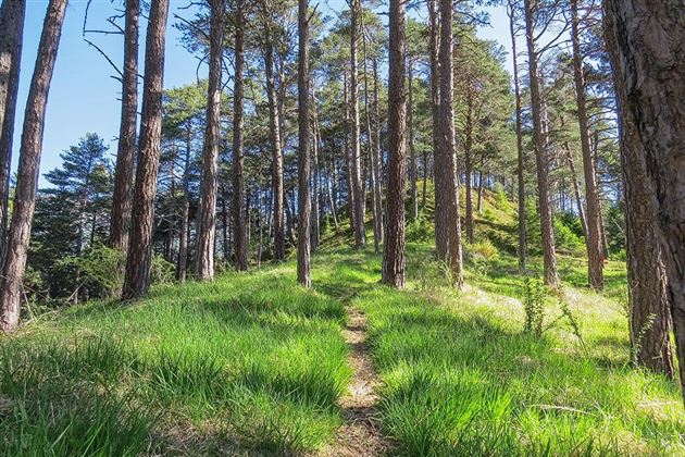
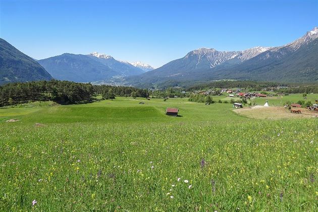
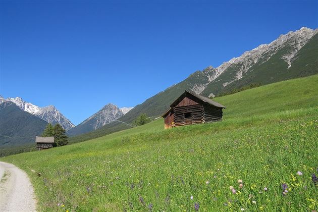
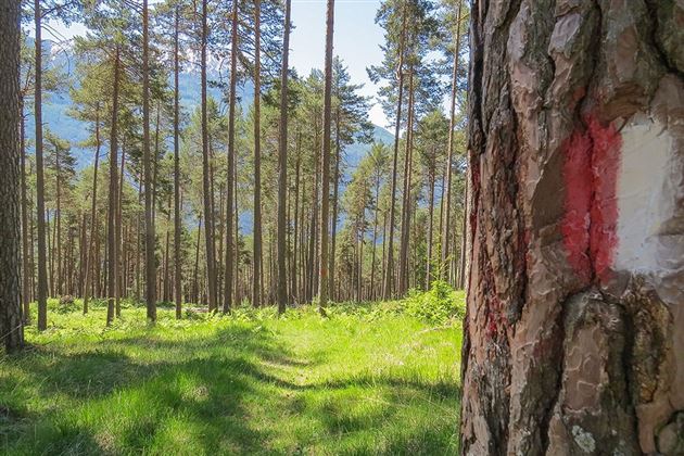
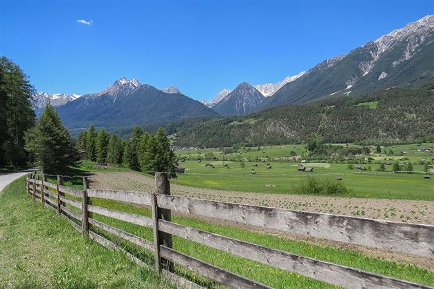
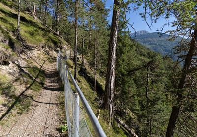
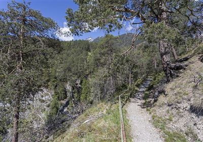
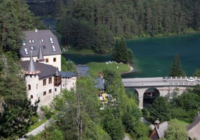
From the Tarrenz municipal office, follow Trujegasse uphill in the direction of "Salvesenklamm". Cross the main road and follow the path to the junction "Hexenofen". There follow the path to the sports field Obtarrenz. Then follow the asphalted road past the fire department hall. At the next crossing (fountain) turn left. Walk past the chapel to the Glöckhof and then straight on to the edge of the forest. Now turn right and follow the path towards "Dollinger", steeply downhill, to the main road. After crossing the federal road, past the Kropfsee lake, continue to Strad. After the Seewald inn, turn left in the direction of "Heilquelle" and follow the path to the open-air museum Knappenwelt Gurgltal. Now turn right towards "Tarrenz" and follow the road back to the starting point. The downhill path to the Dollinger Inn is very steep and narrow, otherwise the loop runs on well-maintained paths.

Refreshment stops: Gasthof Seewald in Strad, Happi's Hütte.

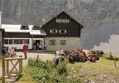
Highlights: Happi's Hütte, open-air museum Knappenwelt Gurgltal.

Recommended Equipment

good shoes, enough to drink

Features & Characteristics

Start Point

Tarrenz Gemeindeamt

End Point

Tarrenz Gemeindeamt

Family hike

Yes

Circular hike

Yes

Arrival

Bus stop in front of the municipal office Tarrenz! Info at www.vvt.at. Parking spaces are available behind the municipal office

Map & Elevation Profile

Similar Tour Suggestions

Eagle Walk Stage: 20

Hard

Hiking

Eagle Walk Stage 20: Hanauer Hütte - Württemberger Haus

Eagle walk

11,00 km

07:00 h

1240 hm

930 hm

2480 m

2015-Schwimmen & Tauchen-Starkenberger See-Tarrenz-©Unbekannt (16).jpg

Easy

Hiking

Starkenberger See

Hiking tour

Loop Hike

5,00 km

02:00 h

106 hm

110 hm

900 m

im_huette_anhalter_015.jpg

Medium

Hiking

Anhalter Hütte

Hiking tour

Hut hike

6,00 km

03:00 h

514 hm

515 hm

2195 m

Anhalter Hütte-©Anhalter Hütte (5)-1.jpg

Medium

Hiking

Anhalter Hütte (Plötzig)

Hiking tour

Hut hike

9,50 km

04:00 h

347 hm

890 hm

2198 m

Dorfrunde Imsterau.jpg

Easy

Hiking

Imsterau village walk

Hiking tour

Loop Hike

3,50 km

01:00 h

34 hm

719 m

Oberer Rotanger.jpg

Easy

Hiking

Oberer Rotanger

Hiking tour

2,70 km

01:30 h

220 hm

25 hm

1084 m

imst_tourismus_bergsteigen_wyhlidal_west_0305.jpg

Medium

Hiking

Alpjoch (No. 28)

Hiking tour

8,80 km

05:00 h

320 hm

835 hm

2339 m

WF_Imst_T27_IMG_01_9216_Durner.jpg

Hard

Hiking

Imster Höhenweg

Hiking tour

13,00 km

09:00 h

1782 hm

805 hm

2557 m

tirolimster-bergbahnenAlpine Coaster Logoarea47trustyou