Running

Medium

Tschirgant run

Nordic walking

11,72 km

279 hm

333 hm

918 m

Information

Course: Imst sports centre - Karrösten - Karres - Karrer Höhe - Roppen - kneipp facility Römerbadl - over the bridge - Ötzbrugg - parking place Area 47

Route:
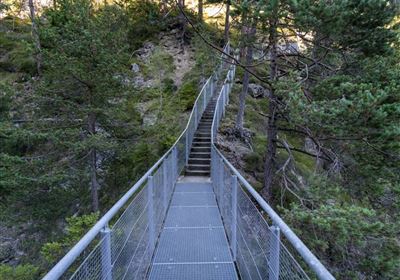
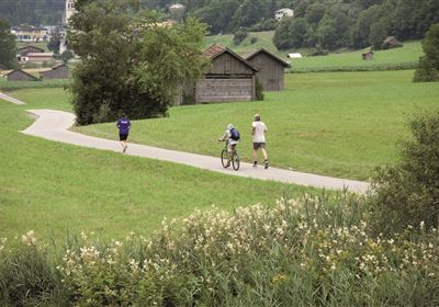
From the Imst sports center, descend into the valley and follow the forest road steadily uphill to Karrösten. Through the village center and along field and forest paths to Karres. Continue across sunny fields to the Karrer Höhe and along the edge of the forest down to Roppen. The route skirts the Burschlhügel and the Innschleife to the north, passing the Römerbadl (Roman Baths). Cross the bridge, through Ötzbrugg, and through the fields along the Inn to the Area 47 parking lot. This route can also be run in the other direction.

Map & Elevation Profile

Similar Tour Suggestions

imst_tourismus_wandern_wyhlidal_west_0004.jpg

Hard

Running

Teilwiesen run

Nordic walking

10,20 km

341 hm

333 hm

1075 m

20190624_163412.jpg

Hard

Running

Württemberger Trail

Trailrunning

21,10 km

1853 hm

1789 hm

2449 m

g-fernstein_beisser_hettich_013.jpg

Easy

Running

Fernsteinsee Run

Nordic walking

1,93 km

57 hm

67 hm

960 m

Obtarrenz_Salvesen-1-4.jpg

Easy

Running

Rotanger Trail

Trailrunning

18,80 km

671 hm

669 hm

1070 m

im_laufen_059.jpg

Easy

Running

City run

Nordic walking

5,13 km

122 hm

836 m

starkenberglauf.jpg

Hard

Running

Starkenberg run

Nordic walking

14,73 km

571 hm

576 hm

1073 m

imst_tourismus_wandern_wyhlidal_west_0073.jpg

Easy

Running

Forest run

Nordic walking

5,65 km

207 hm

176 hm

905 m

imst_tourismus_rosengartenschlucht_wyhlidal_west_0132.jpg

Medium

Running

Rosengarten run

Nordic walking

3,23 km

302 hm

30 hm

1042 m

tirolimster-bergbahnenAlpine Coaster Logoarea47trustyou