Hiking

Medium

Ursprungsweg

Hiking

Hiking tour

+2

7,00 km

02:30 h

459 hm

451 hm

Information

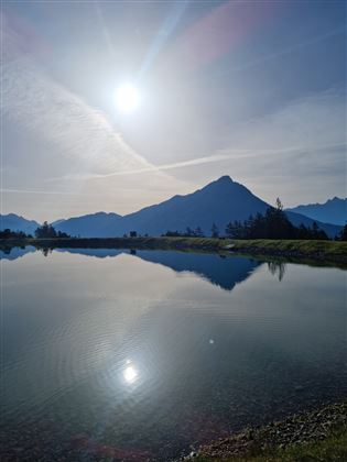
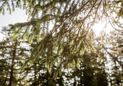
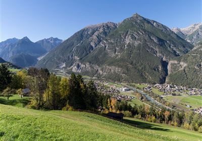
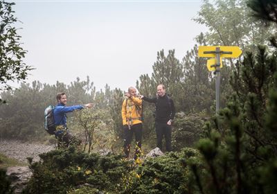
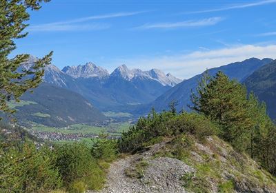
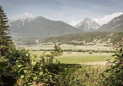
The hike starts directly at the lift in Hoch-Imst. From there, you first walk past the rear parking lot – there begins a short stretch of forest path that gently introduces you to the climb. But don't worry: the path soon branches off and narrows, and you enter the forest. This is where the original trail begins – a real insider tip! The trail takes you through a variety of forest paths, over roots and small clearings. Time and again, you'll discover artfully carved wooden mushrooms – sometimes hidden by the side of the trail, sometimes right in the middle of it. Real fun for kids. After the initial climb, you'll reach the reservoir, which not only serves as a snowmaking facility but also provides a wonderful vantage point. It's worth taking a short break here – the views of the valley and the surrounding peaks are magnificent! The trail continues to the Alptal valley – an idyllic alpine meadow, straight out of a picture book. Depending on the season, gentian, clover, and other alpine flowers bloom here, accompanied by the soothing ringing of grazing cows' bells. You follow the meadow until you finally emerge above the Untermarkter Alm (U-Alm). A perfect opportunity for a well-deserved rest on the sunny terrace! For the return journey, take the easy forest path, which winds gently downhill and takes you directly back to Hoch-Imst. Ideal for a relaxed end to the tour—and also perfect if children's legs are already a bit tired.

Features & Characteristics

Stamina

Skill

Huts & Alms

Start Point

Hoch Imst

End Point

Hoch Imst

Circular hike

Yes

Map & Elevation Profile

Similar Tour Suggestions

Linserrunde.jpg

Easy

Hiking

Linserrunde

Hiking tour

5,90 km

02:00 h

147 hm

1137 m

Mils_Starkenbach-1.jpg

Medium

Hiking

Section 2: Kronburg - Mils

Long distance trails

6,60 km

02:00 h

71 hm

270 hm

963 m

Eagle Walk Stage: 17

Medium

Hiking

Eagle Walk Stage 17: Ehrwald - Lorea Hütte

Eagle walk

19,00 km

05:30 h

1170 hm

1190 hm

2022 m

2018-Wandern-Bergsteigen-Tarrenz-Sinnesbrunn-Alpleskopf-web-©Rudi Wyhlidal (60).jpg

Hard

Hiking

falscher Kogel

Hiking tour

1,66 km

02:30 h

364 hm

2388 m

WF_Imst_T06_IMG_05_6273_Plott.jpg

Easy

Hiking

Hachleschlucht

Hiking tour

4,40 km

02:30 h

298 hm

1051 m

Oberer Rotanger.jpg

Easy

Hiking

Oberer Rotanger

Hiking tour

2,70 km

01:30 h

220 hm

25 hm

1084 m

Loreahütte.jpg

Medium

Hiking

Loreahütte

Hiking tour

5,80 km

06:00 h

1502 hm

2427 m

Simmeringalm.jpg

Medium

Hiking

Simmeringalm

Hiking tour

19,00 km

05:30 h

1058 hm

1814 m

tirolimster-bergbahnenAlpine Coaster Logoarea47trustyou