Hiking

Hard

Imster Höhenweg

Hiking tour

13,00 km

09:00 h

1782 hm

805 hm

2557 m

Information

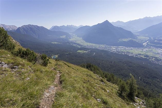
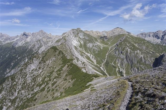
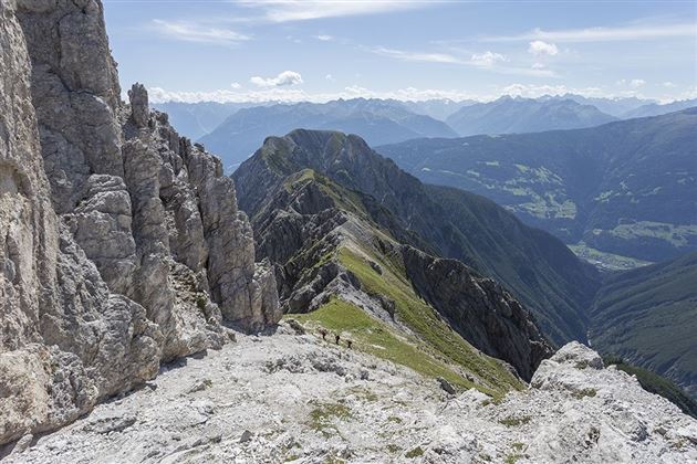
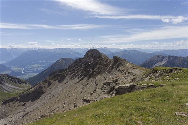
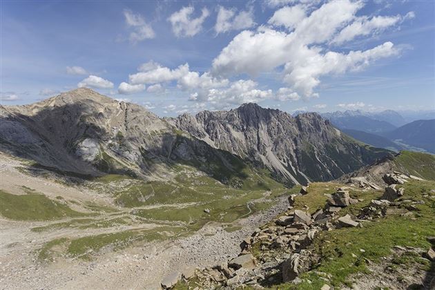
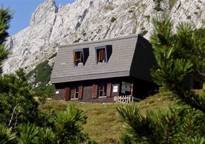
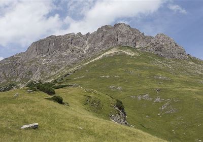
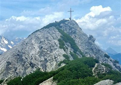
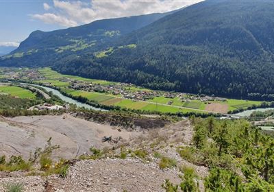
Embark on the adventure of the Imster Höhenweg - a high alpine ridge hike that requires excellent fitness, surefootedness and a head for heights. The trail is very steep in parts and even secured by ropes in some places. With a challenging ascent of 1762 vertical meters over 13 kilometers, this is not a hike for beginners. Enjoy the breathtaking views from the Laggers to the Pleiskopf before descending to the Muttekopfhütte and returning to the lift via the Drischlsteig.

Ready for the ultimate high alpine and ridge hiking experience?

ATTENTION: Please note the operating times of the Imster Bergbahnen. 

Refreshment stops: Muttekopfhütte

Highlights: Muttekopf rest area, waterfall, Adlerhorst viewing platform, SunOrama panoramic terrace

Further information about the tour (detailed route description with waypoints, further information, photos,

map) can also be found in the hiking guide "Wanderführer Ferienregion Imst" (tour no. 27) published by AM-BERG Verlag

Recommended Equipment

Mountain equipment

Features & Characteristics

Stamina

Skill

Start Point

Hoch Imst

End Point

Bergstation Imster Bergbahnen

Map & Elevation Profile

Similar Tour Suggestions

20230629_162959.jpg

Easy

Hiking

Jägersteig

Hiking tour

3,00 km

01:15 h

137 hm

starkenberger_panoramaweg_etappe_4 (7).jpg

Medium

Hiking

Starkenberger Panoramic Route (total)

Long distance trails

69,80 km

24:00 h

2697 hm

2572 hm

1519 m

Schweintal.jpg

Easy

Hiking

Schweintal

Hiking tour

3,00 km

02:00 h

231 hm

156 hm

1022 m

imst_tourismus_gurgltal_morgenstimmung_west_9446.jpg

Easy

Hiking

Gurgltal

Hiking tour

10,10 km

02:45 h

72 hm

77 hm

815 m

Wannig.jpg

Hard

Hiking

Wannig

Hiking tour

12,00 km

12:00 h

1715 hm

2493 m

panoramaweg_etappe_05_19.jpg

Medium

Hiking

Gafleintal - Kohlstattsee

Hiking

Hiking tour

12,00 km

05:00 h

715 hm

720 hm

DSC_0647.JPG

Medium

Hiking

Milsbergsteig

Hiking tour

6,10 km

334 hm

523 hm

1183 m

2010-Wandern-Hütten und Almen-Muthenau Alm-©Unbekannt (6).JPG

Medium

Hiking

Biberwier

Hiking tour

5,00 km

02:00 h

300 hm

251 hm

1789 m

tirolimster-bergbahnenAlpine Coaster Logoarea47trustyou