Hiking

Easy

Opferstockweg

Hiking tour

9,60 km

04:00 h

617 hm

610 hm

1632 m

Information

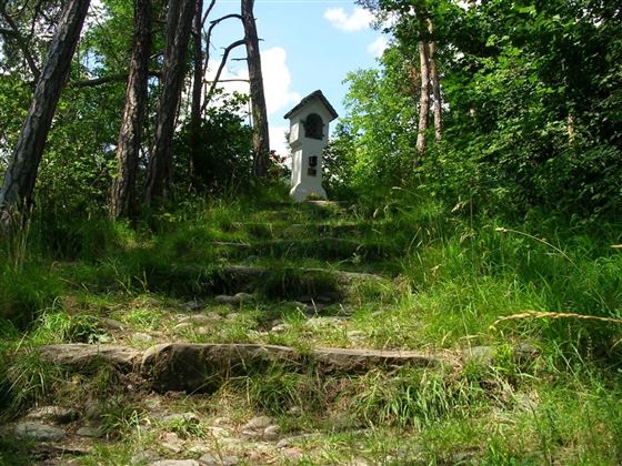
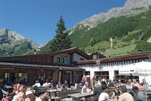
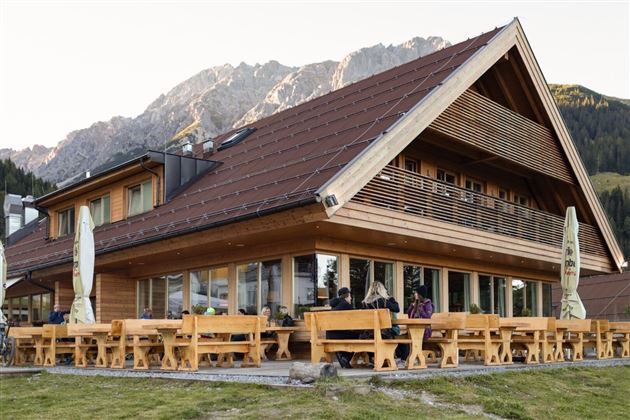
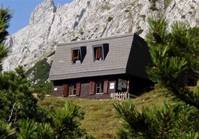
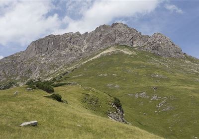
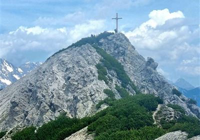
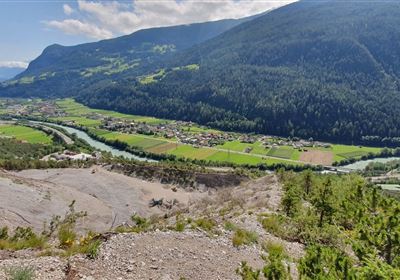
This beautiful forest tour, which is very popular with the locals, starts in Hoch Imst. The trail first takes you across the impressive Hachleschlucht gorge towards Linserhof. After a short time, you reach the Schützen memorial cross, where you enter the forest via the narrow "old mountain pine path". The birdsong of the forest accompanies you on this section of your hike. Now it's uphill and the path has a few surprises in store for you, be it the beautiful views here and there or the legendary Sprisselstein. Let yourself be enchanted by the legends of the region. Climb further up and enjoy a fantastic view over alpine meadows, while the imposing Muttekopf towers majestically in front of you. The beauty of the mountain landscape will fascinate you. Finally, you reach the rustic mountain hut nestled in the mountains. The smoke from the chimney and the cozy atmosphere invite you to linger. Before you make your way back via the Untermarkter Alm, enjoy one last view of the breathtaking landscape you have traversed on your hike. The calming forest, the majestic mountains and the rustic hut will remain in your memory.

Recommended Equipment

good shoes, enough liquid

Features & Characteristics

Stamina

Skill

Start Point

Hoch-Imst

End Point

Hoch-Imst

Map & Elevation Profile

Similar Tour Suggestions

20230629_162959.jpg

Easy

Hiking

Jägersteig

Hiking tour

3,00 km

01:15 h

137 hm

starkenberger_panoramaweg_etappe_4 (7).jpg

Medium

Hiking

Starkenberger Panoramic Route (total)

Long distance trails

69,80 km

24:00 h

2697 hm

2572 hm

1519 m

Schweintal.jpg

Easy

Hiking

Schweintal

Hiking tour

3,00 km

02:00 h

231 hm

156 hm

1022 m

imst_tourismus_gurgltal_morgenstimmung_west_9446.jpg

Easy

Hiking

Gurgltal

Hiking tour

10,10 km

02:45 h

72 hm

77 hm

815 m

Wannig.jpg

Hard

Hiking

Wannig

Hiking tour

12,00 km

12:00 h

1715 hm

2493 m

panoramaweg_etappe_05_19.jpg

Medium

Hiking

Gafleintal - Kohlstattsee

Hiking

Hiking tour

12,00 km

05:00 h

715 hm

720 hm

DSC_0647.JPG

Medium

Hiking

Milsbergsteig

Hiking tour

6,10 km

334 hm

523 hm

1183 m

2010-Wandern-Hütten und Almen-Muthenau Alm-©Unbekannt (6).JPG

Medium

Hiking

Biberwier

Hiking tour

5,00 km

02:00 h

300 hm

251 hm

1789 m

tirolimster-bergbahnenAlpine Coaster Logoarea47trustyou