Hiking

Medium

Simmeringalm

Hiking tour

9,50 km

04:30 h

1058 hm

1814 m

Information

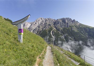
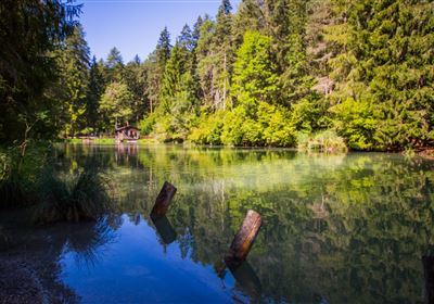
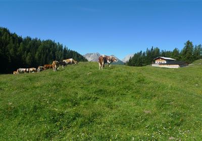
The starting point is near the small hamlet of Dormitz. Right at the start, the path climbs steeply uphill - that warms you up, no question! The narrow path leads through a dense, cool spruce and larch forest. If you like, you can rest on one of the fallen tree trunks from time to time - a good moment to take a deep breath. After around 60 minutes of ascent, the forest gradually thins out. Suddenly the landscape opens up - and you find yourself standing on a wide alpine pasture with a fantastic view of the surrounding mountains. Now it's getting really cozy! The rest of the way to the Simmering Alm is slightly uphill across the alpine pastures.

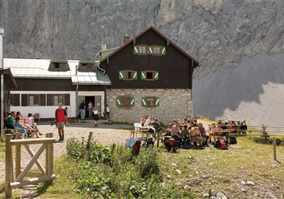
The destination is reached after around 1.5 to 2 hours of walking. The Simmering Alm is located at around 1,810 meters and offers regional delicacies, cool drinks and a fantastic view from the terrace in fine weather.

Features & Characteristics

Stamina

Skill

Start Point

Dormitz

End Point

Simmeringer Alm

Map & Elevation Profile

Similar Tour Suggestions

WF_Imst_T14_IMG_01_7483_Durner.jpg

Medium

Hiking

Drischlsteig

Hiking tour

Hut hike

+1

4,60 km

01:35 h

530 hm

2025 m

2015-Schwimmen & Tauchen-Starkenberger See-Tarrenz-©Unbekannt (16).jpg

Easy

Hiking

Starkenberger See

Hiking tour

Loop Hike

5,00 km

02:00 h

106 hm

110 hm

900 m

imst_tourismus_gurgltal_morgenstimmung_west_9446.jpg

Easy

Hiking

Gurgltal

Hiking tour

Loop Hike

10,10 km

02:45 h

72 hm

77 hm

815 m

Fernsteinsee-1.jpg

Easy

Hiking

Rundwanderweg Fernsteinsee

Hiking tour

12,10 km

04:00 h

157 hm

152 hm

Muthenaualm.JPG

Medium

Hiking

Muthenaualm

Hiking tour

Hut hike

+1

6,80 km

04:20 h

988 hm

85 hm

1783 m

im_huette_anhalter_015.jpg

Medium

Hiking

Anhalter Hütte

Hiking tour

Hut hike

6,00 km

03:00 h

514 hm

515 hm

2195 m

Mils_Starkenbach-1.jpg

Medium

Hiking

Section 2: Kronburg - Mils

Long distance trails

6,60 km

02:00 h

71 hm

270 hm

963 m

2000px-muszla_jakuba.svg.png

Easy

Hiking

Jakobsweg - connection Stams - Nassereith

Long distance trails

17,90 km

05:30 h

527 hm

343 hm

1149 m

tirolimster-bergbahnenAlpine Coaster Logoarea47trustyou