Running

Medium

TschirgantSkyRun TS26

Trailrunning

26,60 km

1780 hm

1781 hm

2357 m

Information

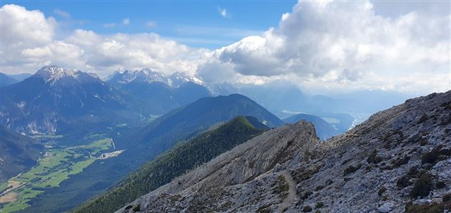
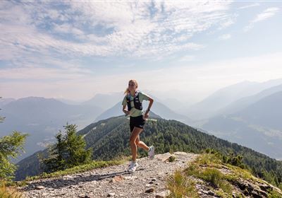
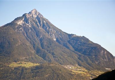
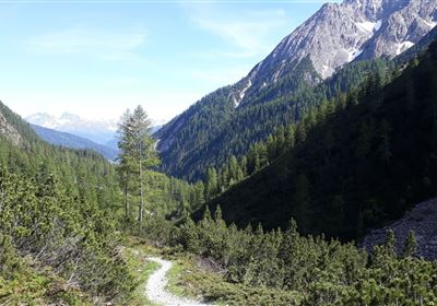
The Tschirgant Sky Run TS26 starts at the Imst Stadium, takes you through a short Gurgeltal loop and rolling meadows to Karrösten, then up a beautiful alpine path to the Karrösteralm. A short stretch of forest path follows before the technically challenging section up to the Tschirgant. The breathtaking ridge of the Tschirgant separates the Inntal and Gurgltal valleys. The technical downhill is sure to make trail runners' hearts race, before the run continues across rolling meadows from Karres towards Karrösten. From there, another narrow path leads you to the stadium, where you can cross the finish line after 26k and 1900m of elevation gain.,

Recommended Equipment

Trinkrucksack, Stöcke, Sportschuhe, Riegel & Wasser

Features & Characteristics

Start Point

Stadtzentrum Imst

End Point

Sportzentrum

Map & Elevation Profile

Similar Tour Suggestions

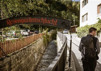
imst_tourismus_rosengartenschlucht_wyhlidal_west_0009.jpg

Easy

Running

Rosengartenschlucht

Trailrunning

11,20 km

03:30 h

766 hm

774 hm

1468 m

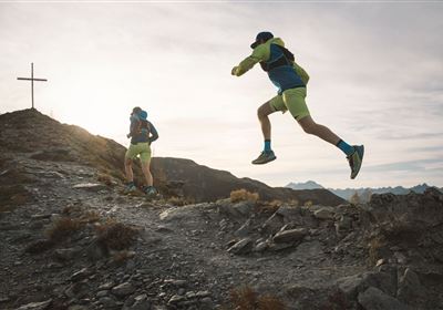
TVBImst_TrailRunning_2019_RudiWyhlidal_MG_9046.jpg

Hard

Running

Imster Höhenweg Trail

Trailrunning

26,80 km

3038 hm

3032 hm

2766 m

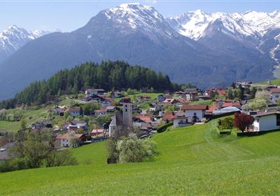
Karröstenallerlei (256).JPG

Easy

Running

Karröster Runde

Trailrunning

9,40 km

02:30 h

307 hm

311 hm

963 m

Trail Running Venet

Hard

Running

Large Venet circuit

Trailrunning

25,10 km

05:00 h

1440 hm

2497 m

imst_tourismus_wandern_wyhlidal_west_0073.jpg

Medium

Running

Tschirgant run

Nordic walking

11,72 km

279 hm

333 hm

918 m

karroesten_west05.jpg

Medium

Running

Tschirgant Trail

Trailrunning

19,96 km

1447 hm

1833 hm

2356 m

20190624_163412.jpg

Hard

Running

Württemberger Trail

Trailrunning

21,10 km

1853 hm

1789 hm

2449 m

Ursprungweg Beginn

Hard

Running

Plattigsteig

Trailrunning

13,90 km

04:30 h

1137 hm

1097 hm

2030 m

tirolimster-bergbahnenAlpine Coaster Logoarea47trustyou